Geofences
A geofence is a boundary drawn on a map. Detection rules test the positions your devices report against it, for example to raise an alarm when a tracker leaves a site. This chapter shows how to draw and edit fences in the console, and how to see what a fence looked like in the past. It is for tenant users and administrators who maintain fences. For the rules that use them, see using a fence in a rule.
Geofences are under Areas → Geofences in the sidebar.
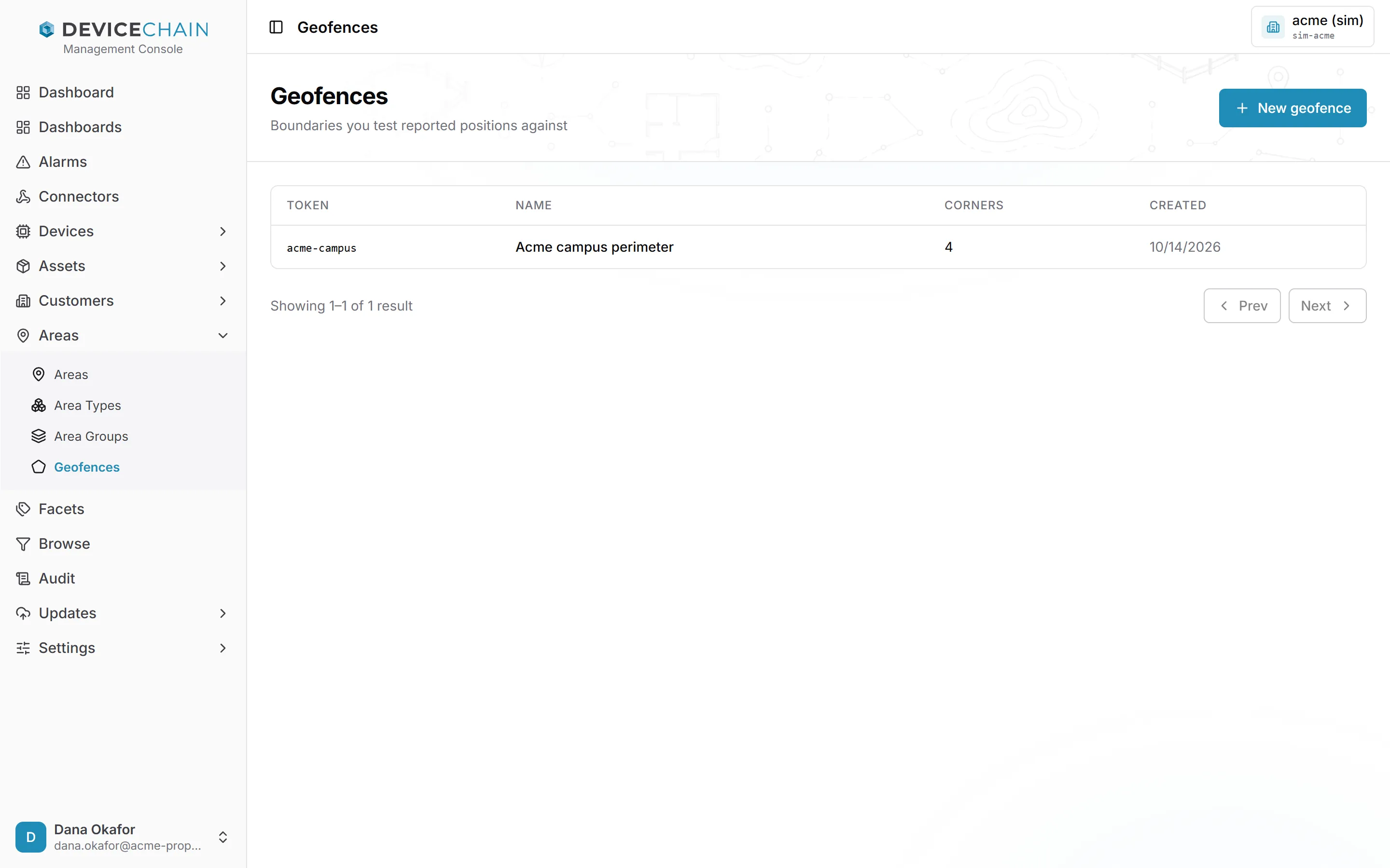
The geofence list
The list shows each fence's token, name, number of corners and creation date. Click a row to open the fence.
Drawing a new fence
Click New geofence. The drawer asks for:
- Token: the identifier rules use to name the fence, for example in
geo.inFence("acme-campus"). The button beside it generates one from your instance's token pattern. The token cannot change after you create the fence. - Name and Description: free text you can change at any time.
- Boundary: the shape, drawn on the map.
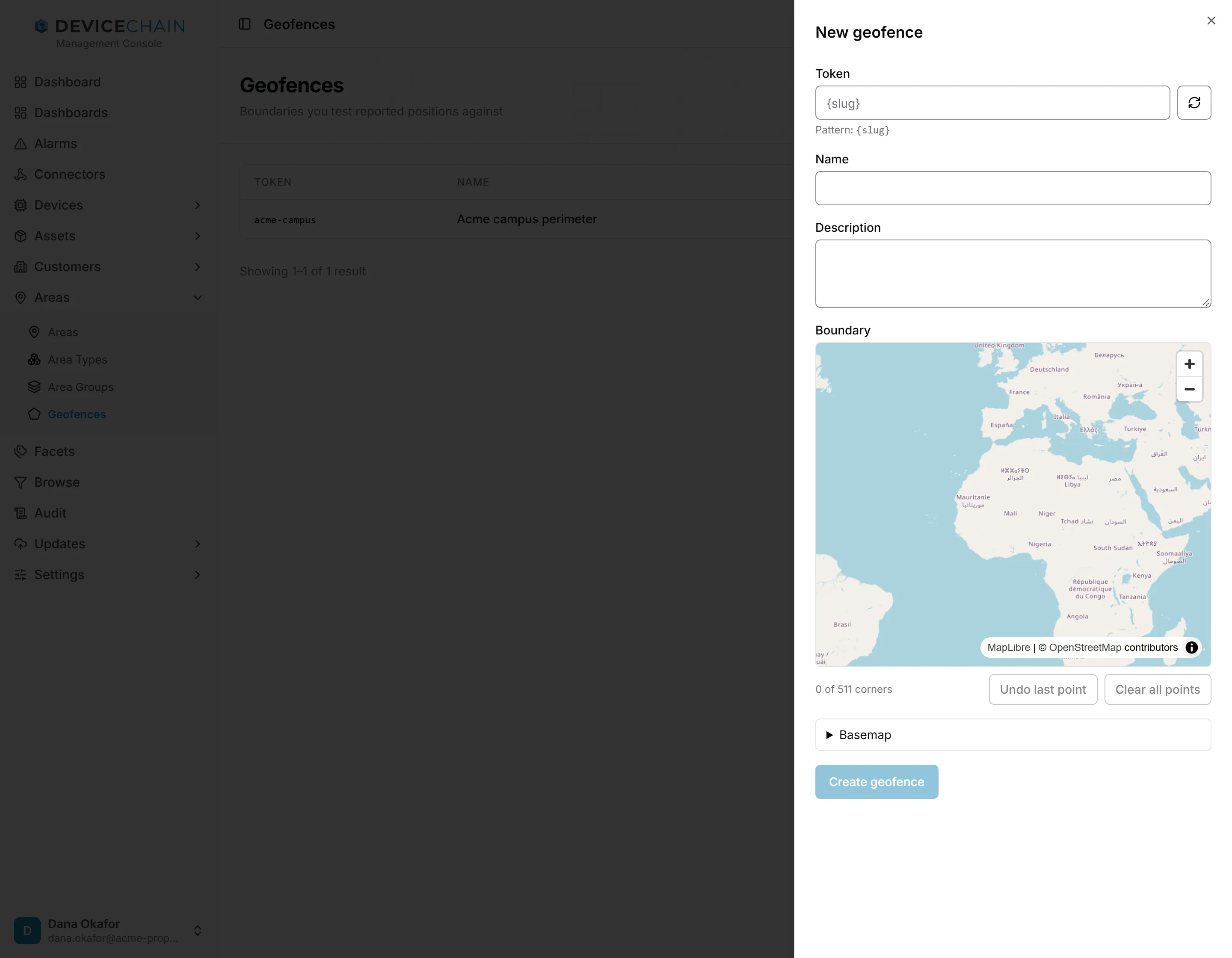
To draw the boundary:
- Zoom and pan the map to your site.
- Click the map to place each corner.
- Optionally, click the first corner again to close the shape, so that further clicks on the map no longer add corners.
- Click Create geofence.
While you draw, the counter under the map shows how many corners you have placed and the most allowed. Undo last point removes the latest corner, and Clear all points starts over.
The console checks the shape as you go. A boundary needs at least three corners, and two corners cannot sit in the same place; the console will not save a shape that breaks either rule. It also warns you if edges cross, because a shape with crossing edges has no clear inside. That check is an approximation, so it does not stop you from saving: the server's answer decides. See boundary rules for the details.
The map behind the fence
The map shows your tenant's basemap, which a tenant administrator sets once for everyone under Settings → Map. The Basemap section under the map lets you try a different tile provider: enter a Tile URL and its Attribution. That override is remembered in your browser only. It is not shared with other users and is not stored on the server. The tile URL and the attribution go together: a tile URL with no credit line is ignored, and the tenant's basemap is shown instead.
If no tile source is configured anywhere, the map falls back to a built-in world map with continents and borders only. Drawing still works, and the coordinates you place are exact. See Basemaps.
Editing a fence
Open a fence to see its detail page. The Basic tab shows the token (read-only), the name, the description and the boundary on the map.
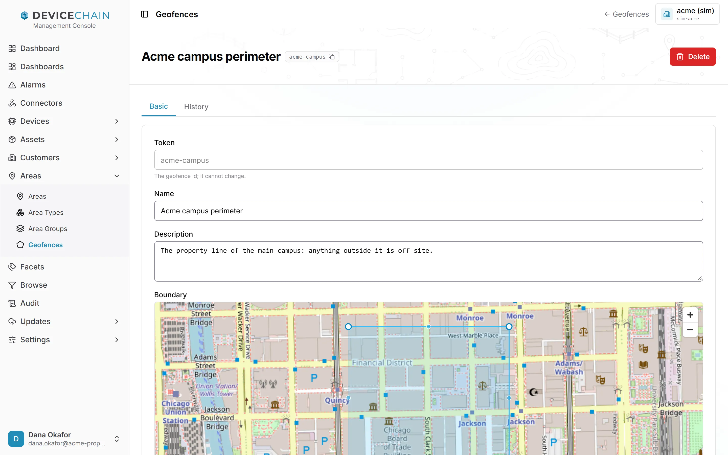
On the map, you can:
- drag a corner to move it,
- Alt-click a corner to remove it, or
- click the small handle in the middle of an edge to add a corner there.
Click Save changes to apply your edits. Delete at the top right removes the fence after you confirm. A deletion cannot be undone. A rule that still names the deleted fence's token can no longer evaluate it and reports evaluation errors; see unknown or missing fences.
If a fence uses a shape this editor cannot draw, the console says so. The fence is stored intact and is still enforced; only editing it here is unavailable. Leave it as it is rather than recreating it.
History
Each time the set of fences changes (a fence is created, its boundary is edited, or it is deleted) the platform freezes every fence's shape into a new fence set version. Renaming a fence or editing its description does not create a version, because the shapes stay the same.
Location events carry the version that was in force when they arrived. So when you replay a rule over past events, they are judged against the fences as they were then.
The History tab shows this fence at any version. Use Older and Newer, or type a version number. Current appears when you are looking at the latest version. The shape stored at the chosen version is drawn solid, and the fence's current shape is drawn dashed behind it, so you can compare them.
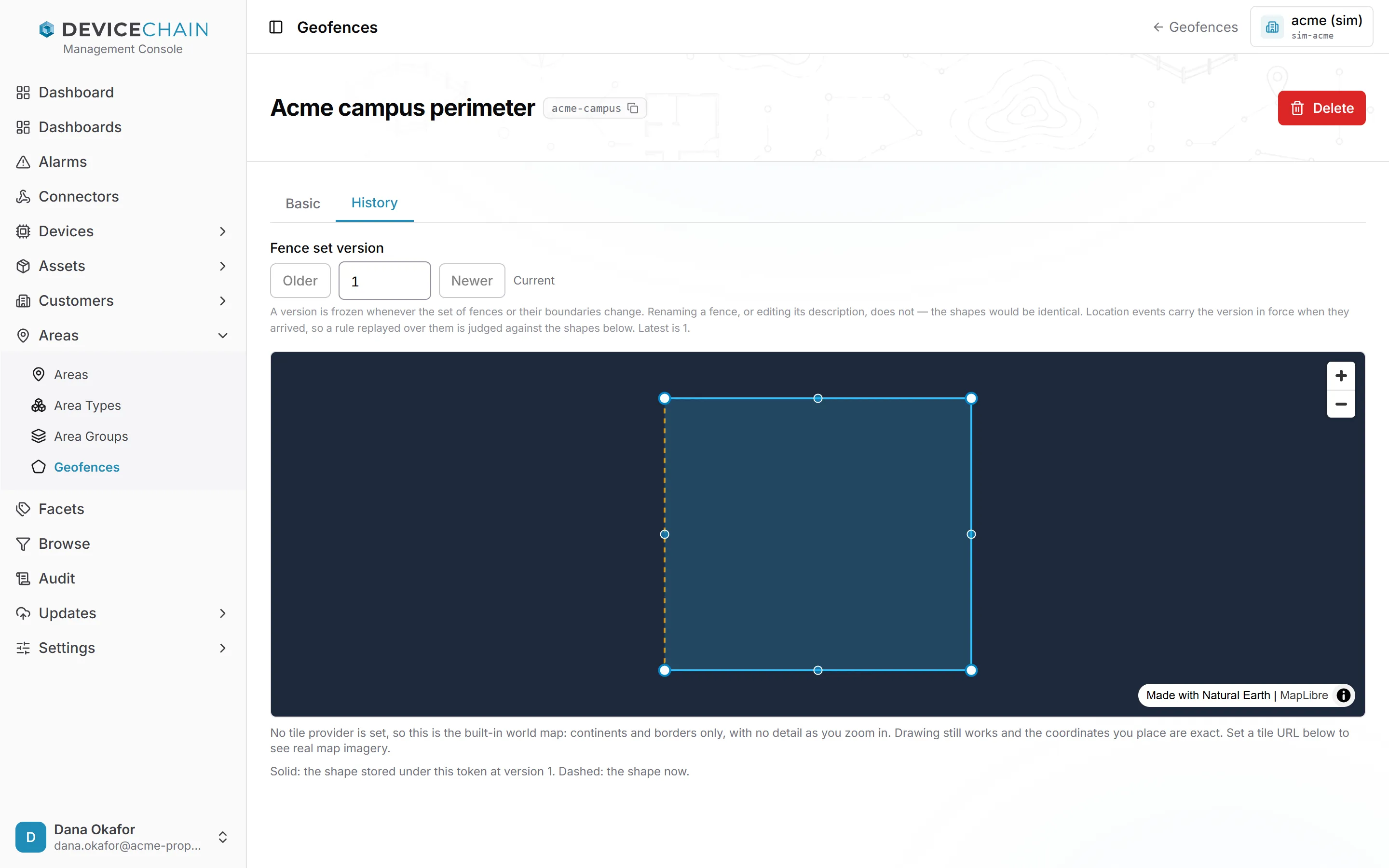
The History map always uses the built-in world map, without tiles, so only the shape is shown.
If the fence did not exist at the version you pick, the tab says so: it was created later, or a fence with this token was deleted and the token reused.
Permissions
Reading fences and their history requires device:read, and deleting one requires device:write.
Creating or changing a fence also requires location:read, because drawing a fence asks a question
about where devices are. See permissions.
Related
- Geofencing: boundary rules, spherical containment, fence-set versions, and using a fence in a rule.
- Basemaps: where the map tiles come from.
- Assets, customers and areas